WORLD MAP WITH FLAGS
Download a free world map with flags
These free printables pair region-coloured world maps with 198 flags and Japanese names. Print the Mercator and Equal Earth versions on A4 landscape paper and compare them.
World maps change with the projection
MERCATOR
Mercator projection
Conformal projectionMercator preserves local angles and has long been used for navigation. Areas at high latitudes appear larger than they are.
EQUAL EARTH
Equal Earth projection
Equal-area projectionEqual Earth preserves relative area, making countries and continents easier to compare. It does not preserve shape, distance and direction all at once.
Free world map PDFs
Learn with region colours
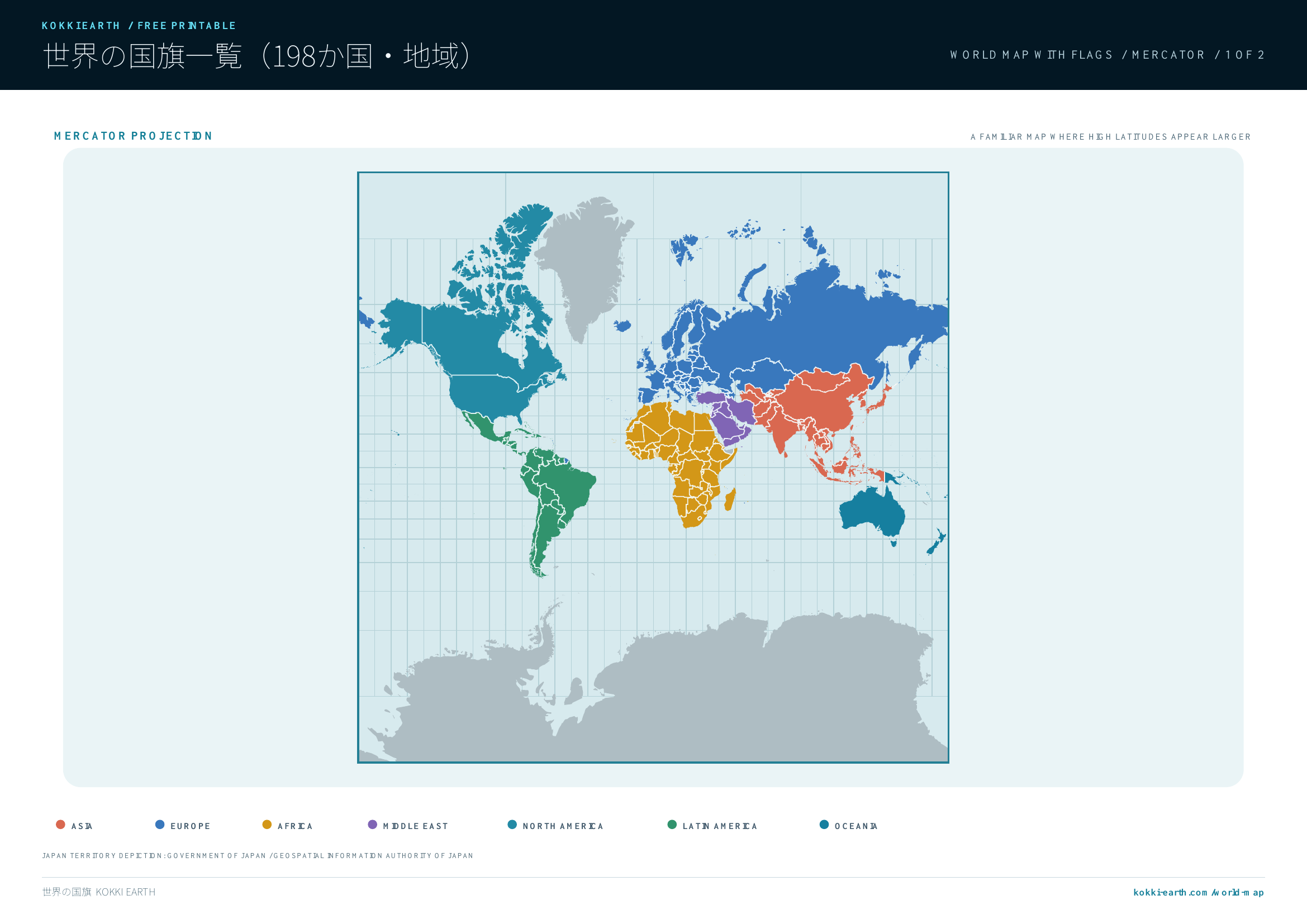
Mercator version
The familiar world map projection, where places at high latitudes appear larger than they are.
Download Mercator version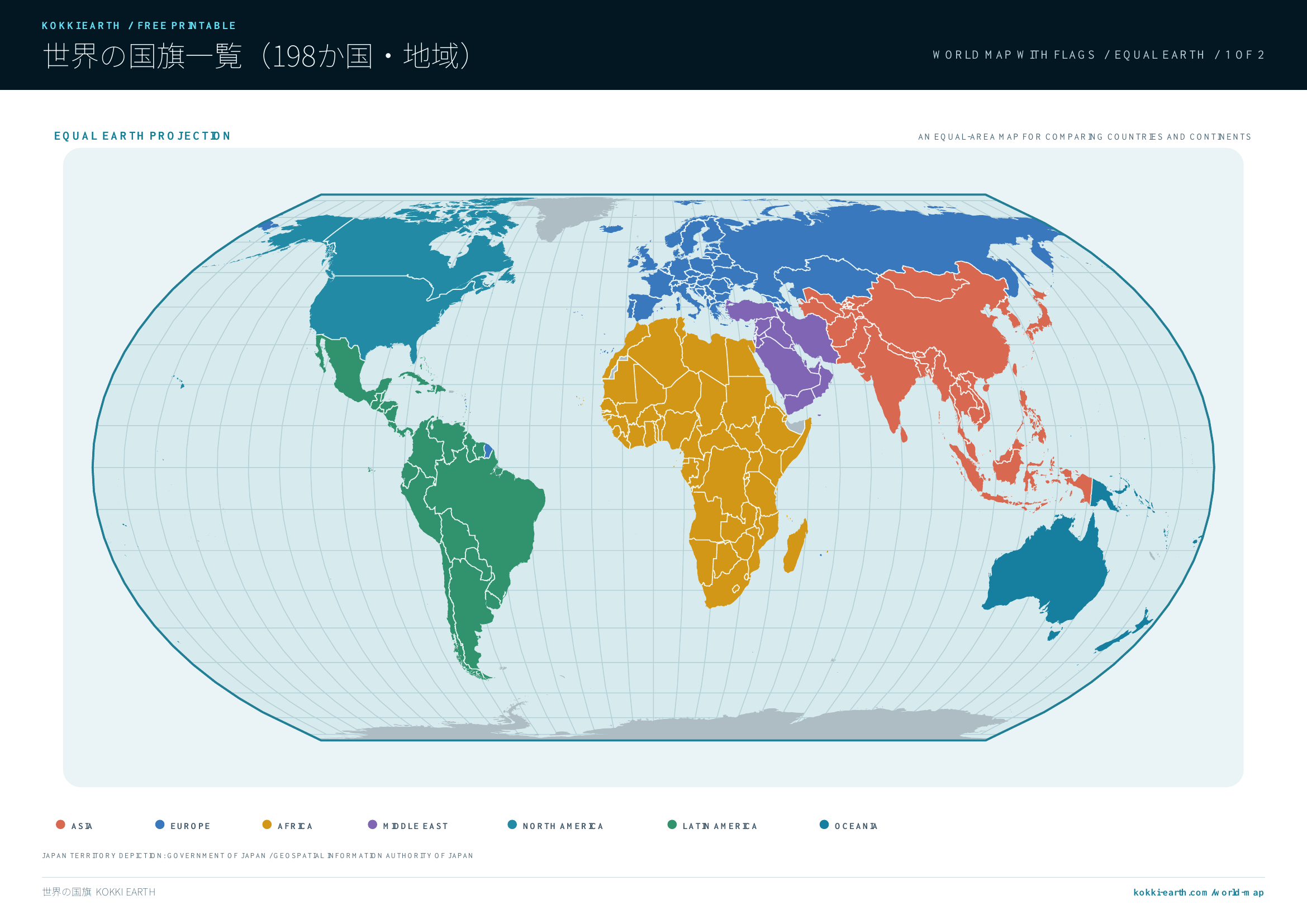
Equal Earth version
An equal-area world map designed to make country and continent areas easier to compare.
Download Equal Earth versionSee flags on the map
Start with the whole world, find flags on enlarged regional maps, then check country names in the index below. Small countries and islands are grouped in clear inset panels.
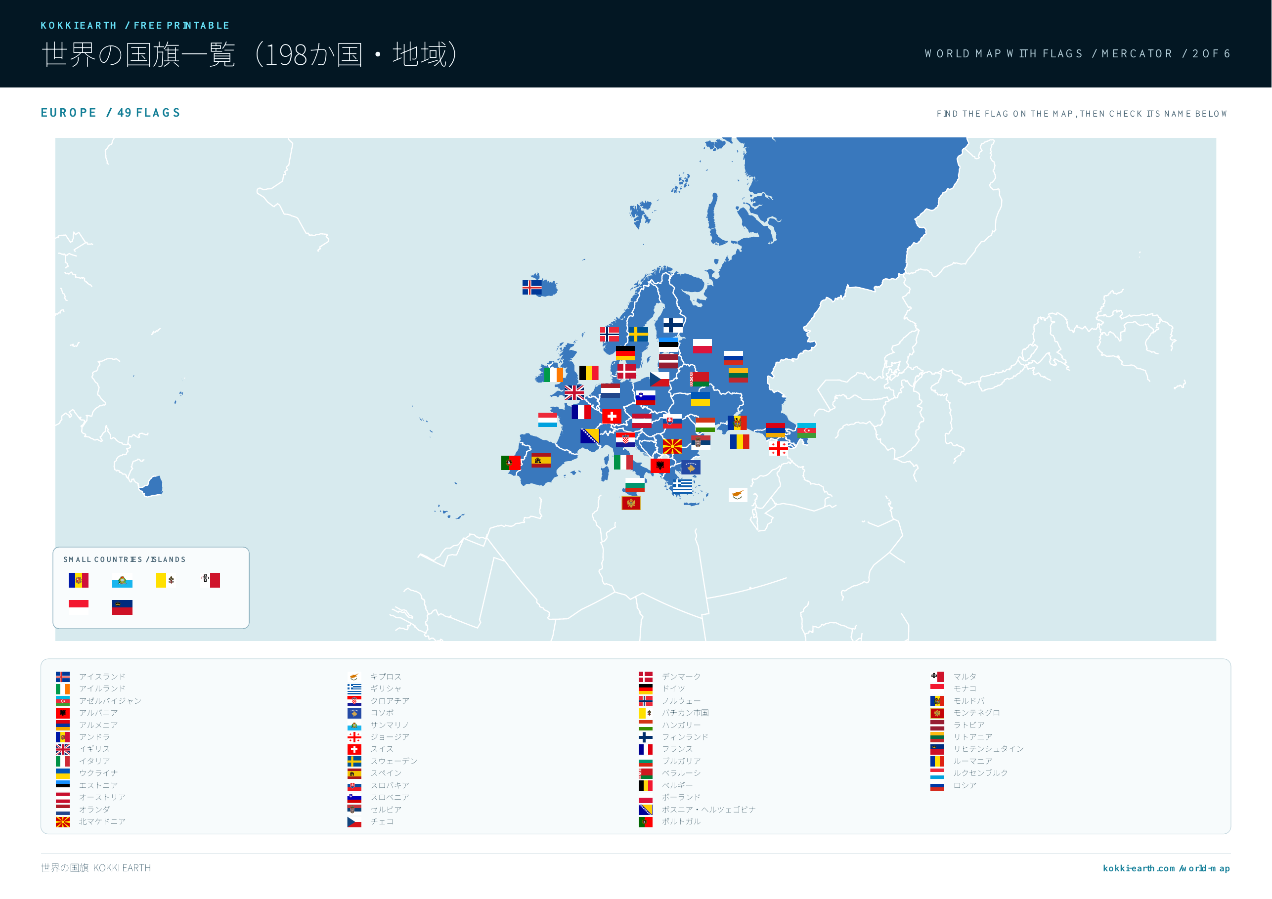
Mercator version + Flags
The familiar world map projection, where places at high latitudes appear larger than they are.
Download Mercator + Flags version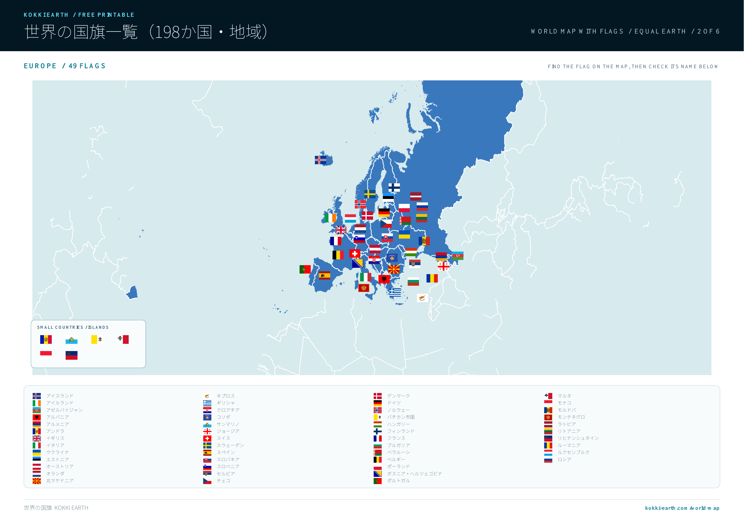
Equal Earth version + Flags
An equal-area world map designed to make country and continent areas easier to compare.
Download Equal Earth + Flags versionPrint and explore
The region-colour edition has two pages; the Visual flags-on-map edition has six. Print in landscape at 100%. Every flag keeps its original proportions, and flags with white fields have a fine boundary.
Try countries in World Map Lab →
Territorial depiction for Japan follows official materials published by the Government of Japan and the Geospatial Information Authority of Japan.
Northern Territories — MOFA ↗ Takeshima — MOFA ↗ Senkaku Islands — MOFA ↗ GSI Maps ↗