WORLD MAP GUIDE
Mercator vs Equal Earth
A round Earth cannot be flattened without changing area, shape, distance or direction. Compare the projections, then test them on the interactive map, in print and on the globe.
Mercator vs Equal Earth
The same Earth data looks different when each projection makes a different trade-off.
Side-by-side comparison of Mercator and Equal Earth world map projections
Mercator
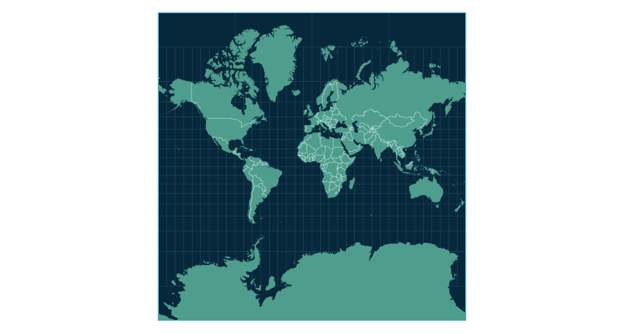
Areas appear larger toward high latitudes
Equal Earth
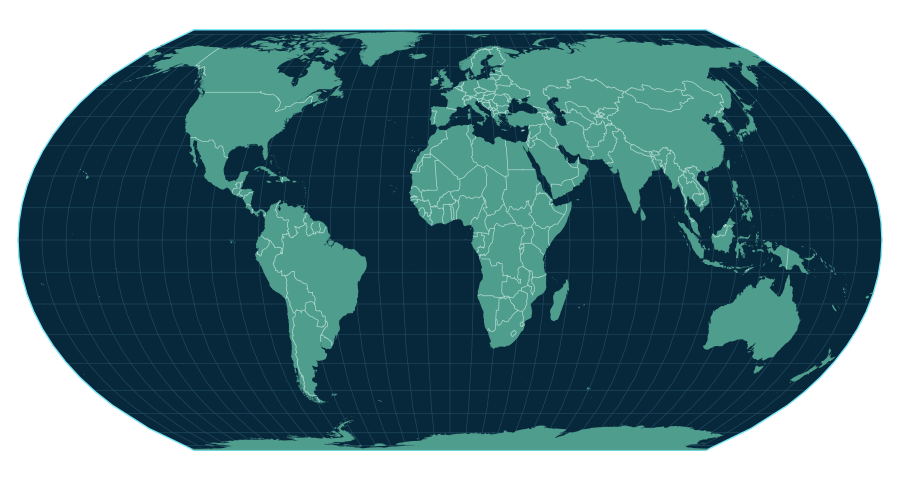
Preserves the relative areas of countries and continents
Both are map projections for representing the spherical Earth on a flat surface.
What is Mercator?
Mercator preserves local angles and makes constant-bearing routes straight. Areas expand toward the poles, but that does not make it a wrong map: it serves particular purposes.
What is Equal Earth?
Equal Earth preserves relative area. Shape, distance and direction can still be distorted, so it is not the one uniquely true map.
Why do world maps distort?
Flattening a sphere always requires a compromise. On Mercator, high-latitude places such as Greenland appear much larger relative to Africa than their true areas suggest. Equal Earth corrects area comparison while accepting other distortion.
Why does Greenland look so large?
Greenland sits at a high latitude, so Mercator gives it a much larger visual presence than its area warrants. Africa is actually about 14 times the area of Greenland. Move Greenland to the equator in World Map Lab, then switch to Equal Earth to compare.
Move countries to see it
Move Japan or Brazil north, or place Australia near Europe. The country keeps the same area; position and projection change its appearance.
Free printable world maps
Print two A4 landscape posters framed with the canonical set of 198 flags.
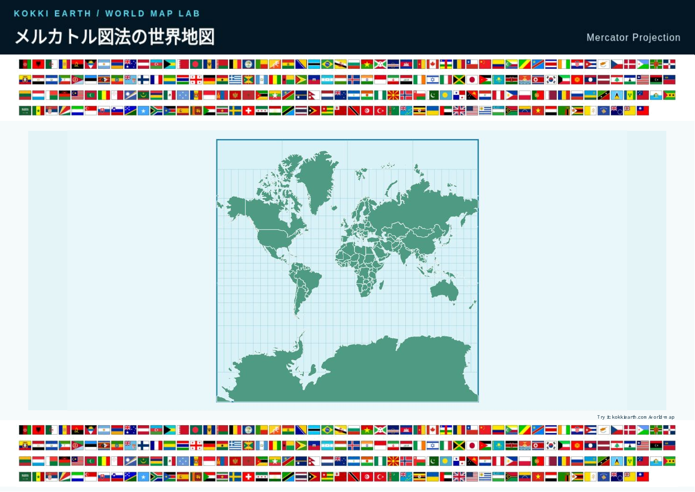 Mercator world map PDF
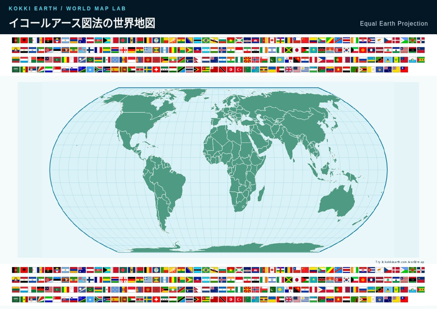 Equal Earth world map PDF